This 10 km² Seattle world connects Seattle Center and the Space Needle with downtown street blocks, changing elevations, and the working edge of the Elliott Bay waterfront. The selected bounds capture a recognizable city-to-water relationship while staying honest about their focused size: this is not a full model of Seattle or the wider Puget Sound region.
Players spawn outdoors on the Seattle Center pedestrian plaza, with open space for orientation and the Space Needle nearby as the first major landmark. The plaza can remain a public server hub while routes branch south toward downtown, west toward the waterfront, or into surrounding neighborhoods and elevated streets.
The Space Needle gives the world a strong navigation anchor and a visible objective for restoration, lighting, observation-deck detailing, cinematic flights, or multiplayer quests. The generated landmark preserves its mapped position and relationship to Seattle Center, while leaving builders responsible for fine architectural detail and finished interiors.
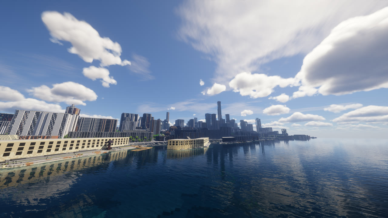
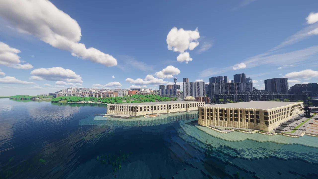
Along Elliott Bay, piers, shoreline structures, roads, and broad water views create room for ferry-inspired routes, docks, a waterfront market, or a survival supply corridor. The screenshots show the bay and skyline together, making it practical to keep waterfront activity visually tied to the city above it.
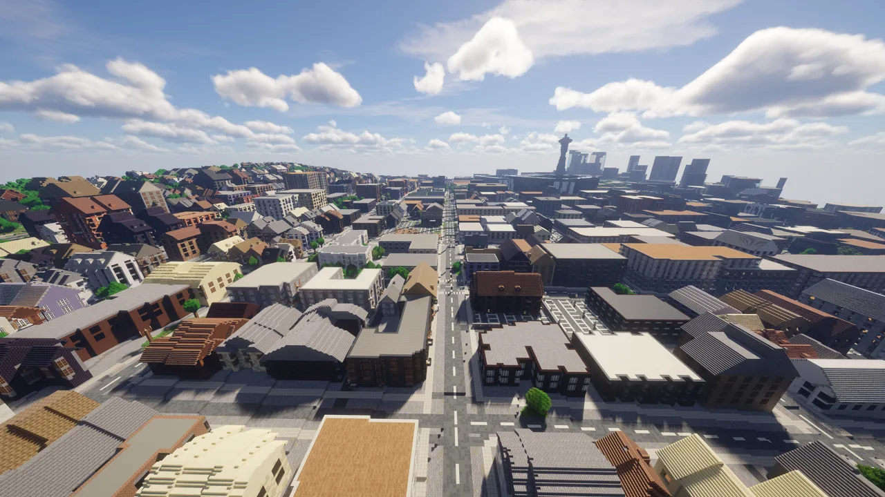
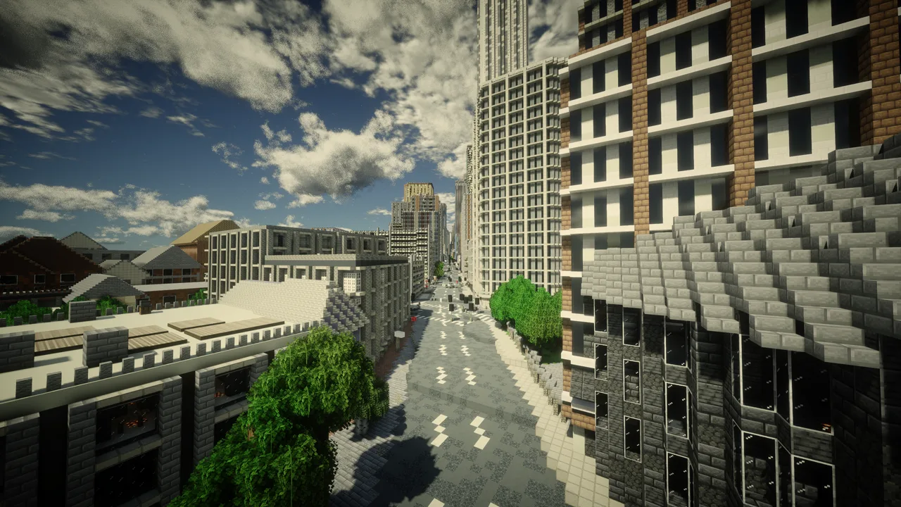
Downtown streets and sloping neighborhood blocks expand the map beyond two landmarks. Players can divide the city into manageable restoration districts, connect elevation changes with transit or stair routes, and reserve the waterfront and Seattle Center as shared public spaces. Keep an untouched backup before adding interiors, quests, redstone systems, or major terrain edits; Java and Bedrock packages use the same approved bounds.